The U.S. GEOTRACES Arctic Expedition
aboard the USCGC Healy (HLY1502)
August 9-October 12, 2015
Over the past few years, members of the scientific community have planned the U.S GEOTRACES Arctic Expedition (referred to here as the AOS or Arctic Ocean Section) (Figure 1), and it is finally scheduled to begin on August 9, 2015. The research vessel/icebreaker that will be used to complete the AOS is the U.S. Coast Guard Cutter Healy. When the Healy is not breaking ice in the Arctic, it has the homeport of the U.S. Coast Guard base in Seattle, Washington. During one week in June, cruise participants flew to Seattle to load the Healy with scientific equipment and secure lab spaces (Resting Easier), while the Coast Guard loaded the ship with food and other essential items. Since June, the Healy has embarked on its first research cruise of 2015 (cruise no. HLY1501) that ends in Dutch Harbor, Unalaska, Alaska in late July, prior the arrival of the AOS cruise participants. During the first few days of August, approximately 50 scientists, students and technicians will fly to Dutch Harbor to finish preparations before the Healy embarks on the 65-day cruise (no. HLY1502).
The objectives of the different scientific groups involved in the AOS are to collect and analyze seawater, ice, snow and air samples along the cruise path (Figure 1), in accordance with the goals of the GEOTRACES program, while also including some U.S. Repeat Hydrography stations. GEOTRACES is an international program that focuses on understanding the marine biogeochemical cycles of traces elements and their isotopes. The Repeat Hydrography program is also an international program, however, its goals are to investigate ocean circulation and the oceanic carbon cycle. In essence, both programs study marine biogeochemistry, with the overarching goal of understanding and addressing the ocean's sensitivity to change. In the Arctic, where warming and environmental change are apparent (Arctic News), research such as the AOS is necessary for understanding the Arctic climate and Earth's sensitivity to change.
To accomplish the AOS scientific objectives, sampling will be carried out in the Bering Strait, Chukchi Sea, the Canada Basin and the Makarov Basin (Figure 1, About the Arctic Ocean). The majority of samples to be collected are seawater samples, which will be collected using Niskin bottles, pictured around a rosette in Figure 2. Niskin bottles are essentially plastic tubes with caps on both ends and a sampling nozzle, which are held open by spring-loaded lanyards, triggered to close (collecting seawater) at desired depths throughout the water column. For the most part, depths are determined prior to arriving on station locations, but sometimes depths are determined based on features identified in the water column. These features are identified by using Conductivity (i.e., salinity), Temperature and pressure (i.e., Depth) sensors that relay CTD data back to the ship.
To accomplish the AOS scientific objectives, sampling will be carried out in the Bering Strait, Chukchi Sea, the Canada Basin and the Makarov Basin (Figure 1, About the Arctic Ocean). The majority of samples to be collected are seawater samples, which will be collected using Niskin bottles, pictured around a rosette in Figure 2. Niskin bottles are essentially plastic tubes with caps on both ends and a sampling nozzle, which are held open by spring-loaded lanyards, triggered to close (collecting seawater) at desired depths throughout the water column. For the most part, depths are determined prior to arriving on station locations, but sometimes depths are determined based on features identified in the water column. These features are identified by using Conductivity (i.e., salinity), Temperature and pressure (i.e., Depth) sensors that relay CTD data back to the ship.
 |
| Figure 2. A rosette being deployed on station in the Ross Sea, Antarctic on February 19, 2013, about to do a vertical cast. |
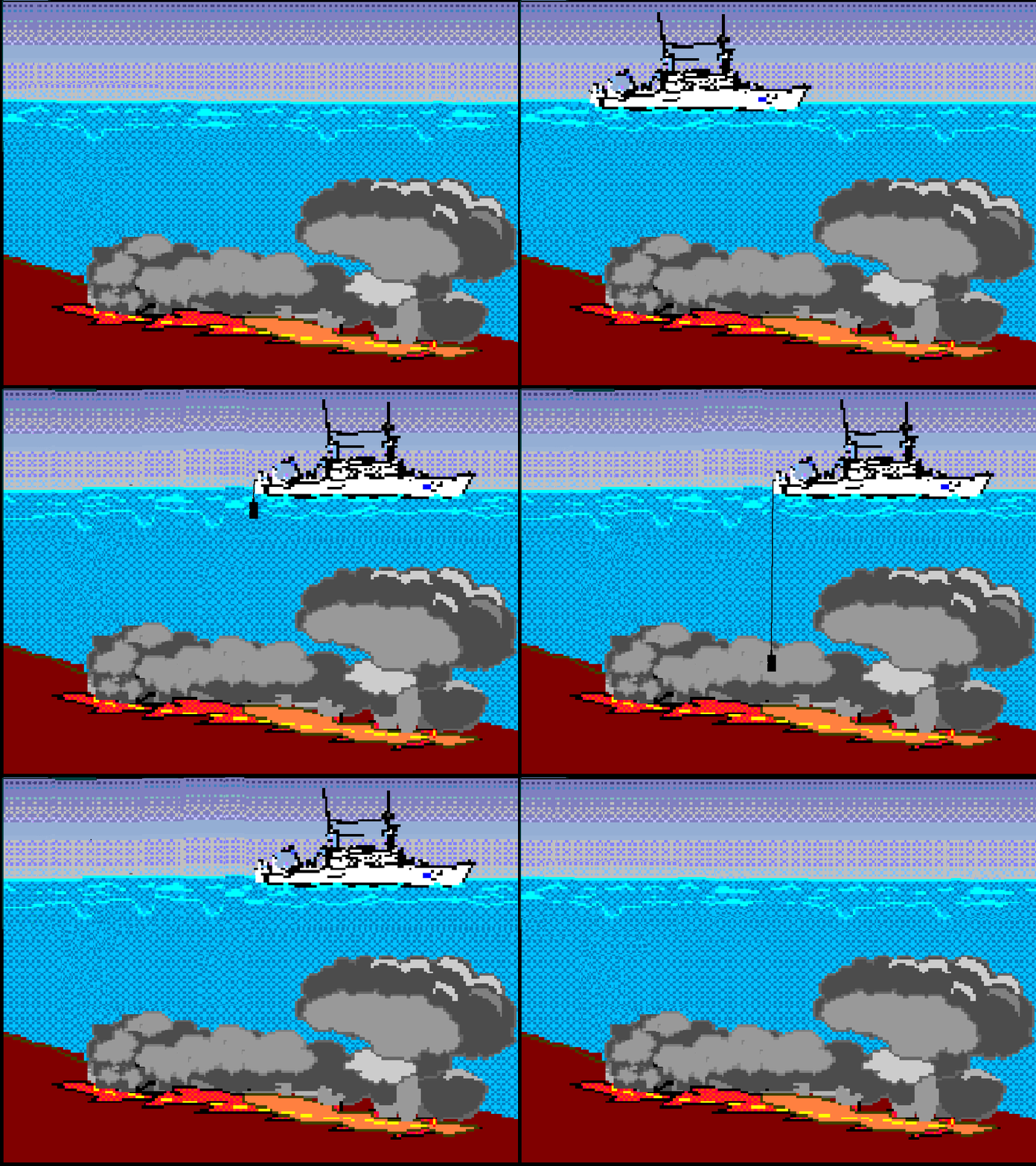
At typically stations, rosettes equipped with a CTD sensor package and 24-36 Niskin open bottles are lowered to the bottom of the ocean by a conductive wire (pictured in Figure 2), which is connected to a CTD display screen and control panel onboard the ship. Once the rosette reaches the bottom of the ocean, it is raised to the desired depths, and the Niskin bottles are closed (or "fired") as it moves upward on its way back to the ship. The reason why bottles are closed on the rosette's way up (rather than on its way down) is because there is enough pressure at the bottom of the ocean to destroy closed bottles by crushing them! Lowering and raising a rosette on station is illustrated in Animation 1.
Some of the measurements that will be made include full-depth vertical profiles of salinity, temperature, oxygen, nutrients (nitrate, phosphate and silicate), currents, pH, total alkalinity, dissolved inorganic carbon (DIC), dissolved organic carbon (DOC) and nitrogen (DON), and transient tracers (i.e., chlorofluorocarbons – CFC's), iron (Fe), zinc (Zn), cobalt (Co), arsenic (As), selenium (Se), copper (Cu) and mercury (Hg), among many other variables, while autonomous measurements will also be made as the ship is underway, measuring surface temperature, salinity, partial pressure of carbon dioxide (pCO2), air-sea fluxes, bathymetry, navigation). Sounds like a lot, doesn't it!
- Kadko, D. 2015. The U.S. Arctic GEOTRACES Expedition Set to Embark in 2015. ARCUS, http://www.arcus.org/witness-the-arctic/2015/2/article/23166
- Proposal abstracts from the U.S. Arctic GEOTRACES Study and the Global Ocean Repeat Hydrography & Tracer Measurements 2015-2020, written by the chief scientist, lead scientist and principal investigators of this cruise.

